The data measured via single or multiple monitoring are listed in a table providing the following information:
- Date/Time
- Axis X, Y, Z
- ISO value
- AVG value
- MAX value
- Temperature
- Type of Probe (clicking on the specific field opens a window with data from the corresponding probe).
- GPS Lock/Off
- GPS coordinates
NHT 310 incorporates a GPS module for acquiring geographic coordinates which refer to the measurements taken. The MicroLink software can be automatically displayed using Google MapsTM.


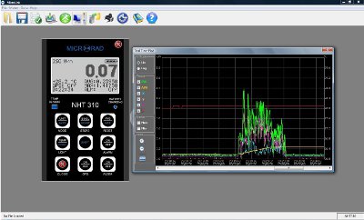
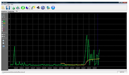
In the amplitude/time mode pan, zoom, min and max functions are available, and the operator can select linear or logarithmic scale.
The graph allows the display of each single axis, the resulting, of the mean and temperature value.
Additional software functions:
- Data export
- Alarm threshold setting (buzzer)
- Moving average sample rate
- Sample rate and programmed start of the monitoring
- Date and time setting


